
Satellite images are used to monitor reservoirs to optimize water consumption in rice production.
Water is an essential resource for both agriculture and society in general. Efficient management of this resource must be based on high-quality data. A research project by UTEC's ...
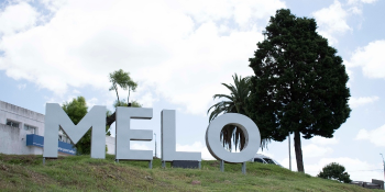
Invitación a la comunidad de Cerro Largo
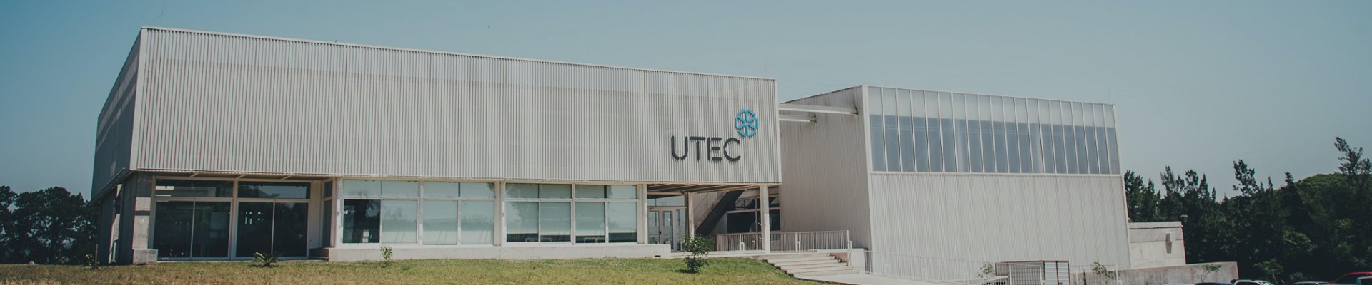
UTEC comienza el 2022 con la Ingeniería en Agua y Desarrollo Sostenible desde Melo, y a partir del segundo semestre con la Licenciatura en Tecnologías de la Información. Además,...
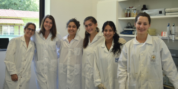
Desde el 20 de enero y hasta el próximo 28 de febrero, 10 jóvenes mujeres, estudiantes de primer o segundo año de educación media superior, están participando de Verano Científico...
UNIVERSIDAD TECNOLÓGICA @ 2026 - All rights reserved.
Teléfono (+598) 2603 8832 | consultas@utec.edu.uy